


How did Japan’s largest grassland come about?
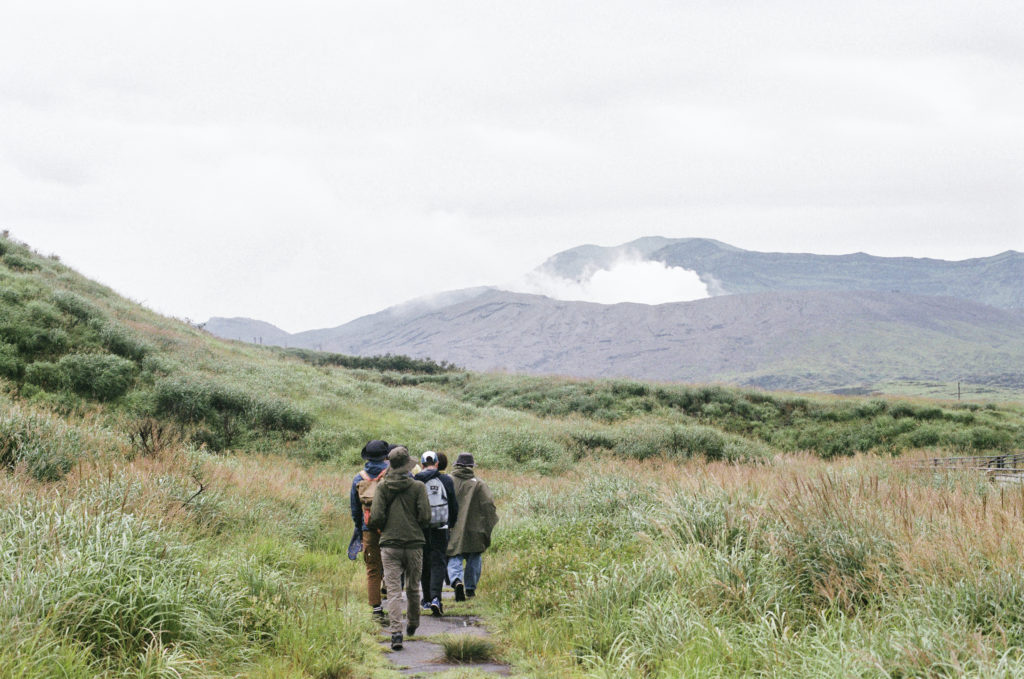
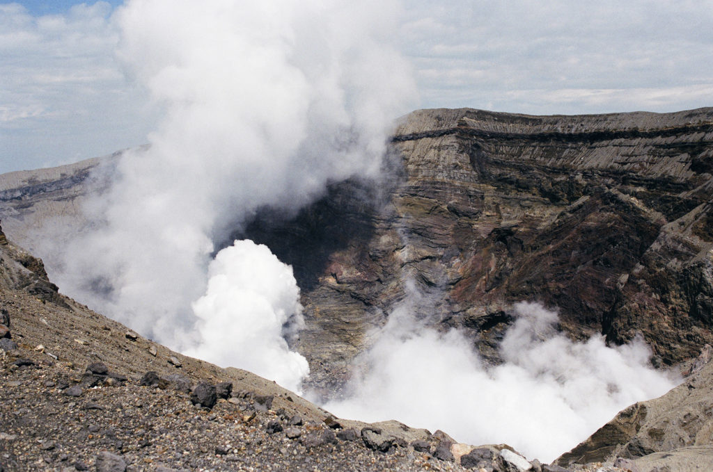
To get a feel of the Earth at Aso, we explored the heart of the volcano—the source of massive energy—on a refreshing 90-minute hike from the Aso Volcano Museum to the dormant crater of Mt. Kishimadake.
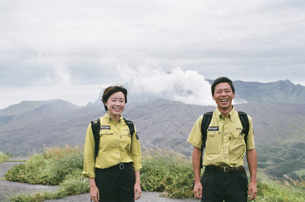
“Do you see the community at the bottom of the enormous caldera? From ancient times, people went to a lot of trouble to settle and live here.”
As we took in the endless panorama, ranger Junichi Yamashita began recounting the local history. Four massive eruptions occurred between 270,000 and 90,000 years ago. The Aso caldera was formed during that process.
“The eruption of some 90,000 years ago is said to have been the largest. Lava from that event has been found as far as Yamaguchi Prefecture, and volcanic ash as far as eastern Hokkaido.”
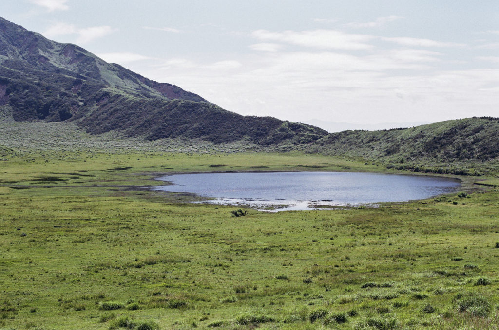
An eruption that big would have emptied the magma chamber and caused the ground to collapse. The hollow is the caldera where people continue to live today. The harsh environment also provides no less than a thousand cold springs that supply water essential for sustaining human life. For more than a thousand years, the locals have maintained the grasslands through controlled burning, and used the excess grass as horse and cattle feed and thatching material. The largest area of natural grassland in Japan was not formed by nature alone. The residents’ use of grass and efforts to maintain it prevented the growth of forests and helped sustain the grasslands. The landscape before our eyes was the result of human intervention over a mind-numbing length of time. All of this history seemed to be reaching our ears in whispers as we stood at the 1,326-meter-high summit of Mt. Kishimadake.
“Rice fields, bridges made of volcanic rock, cold springs, and grasslands—Aso is home to countless sites that speak of the relationship between the residents and nature. Throughout history, the people have worked things out and found ways to coexist with nature. That is the greatest attraction of Aso.”
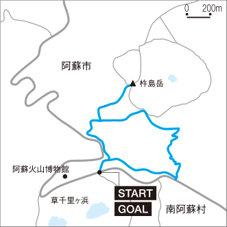
The 3.2-kilometer-long trail with a maximum difference in elevation of 192 meters offers the experience of light hiking along with the beauty of the dynamic, pulsating Earth. The greatest highlights are the five peaks of Mt. Aso, grasslands, sand dunes, and clusters of Rhododendron kiusianum that add an accent of pink to the tender spring green.
Mt. Aso Visitor Center
Aso Volcano Museum1F
1930-1, Akamizu, Aso-shi, Kumamoto
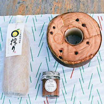
Nishida Fruit Garden’s yuzu juice and peach jam are made with fruits grown in sync with the waxing and waning of the moon. Hisanagaya’s chiffon cakes, available in the station building of Choyo Station, on the Minamiaso Railway, are favorites of our editor in chief Lucas B.B. Try the blueberry chiffon with jam.