From the North Sea to the inner provinces, a road soaked in the sweat of bokka
It’s hard to imagine life without salt. It started to become a staple in Japanese diets from the Jōmon to the Yayoi era. As the mainstay of daily living transitioned from hunter gathering to agriculture, diets shifted from animal meat with salt content to a grains-heavy diet, presenting the need to intake salt content required to survive from actual salt. With no rock salt as a resource, Japan could only harvest salt from sea water, which had to be transported inland from the coastal areas. Shining a light on the history behind this salt reveals that there were industrial roads used for salt conveyance. There are routes called “Salt Roads” running through each locale, and originally paved for the purpose of exchanging seafood for mountain delicacies.
Particularly notable among these was a road known as “South Salt” running from the town of Sagara in Shizuoka Prefecture to Matsumoto in Shinshu, and the “North Salt” running from Itoigawa in Niigata Prefecture to Matsumoto, constituting a 430 km route connecting the Pacific Ocean with the Sea of Japan. Shinshu once consumed a large amount of salt, and the road along which an enormous volume was transported was a decidedly perilous route with several mountain passes to negotiate. The road would be impassable due to snow in winter months. Such circumstances gave rise to a unique culture and folklore, which had the effect of creating mass appeal for the route.
This time, PAPERSKY will take on a stretch of the “North Salt”, a stretch of some 80 km running between Itoigawa and Ōmachi, is a truly historic route ancient enough to be mythologized in the “Kojiki” (an early Japanese chronicle of myths). As well as salt was also used to transport jade used in magatama beads, allowing the exchange of salt and marine products from Itoigawa for tobacco, beans and other local specialties from the Shinshu region. In the middle ages the route was called “Sengoku Michi”, along which the culture of the Kinki Region is said to have propagated. In the Edo era, the Matsumoto clan sought to levy taxes on salt, and closely monitored the “Sanshu Highway” (towards Ina) as well as the “South Salt”. Salt could now only be received through “North Salt”. The upshot of all this was that during the route’s heyday, more than 20,000 sacks of salt were conveyed up this northern salt route.
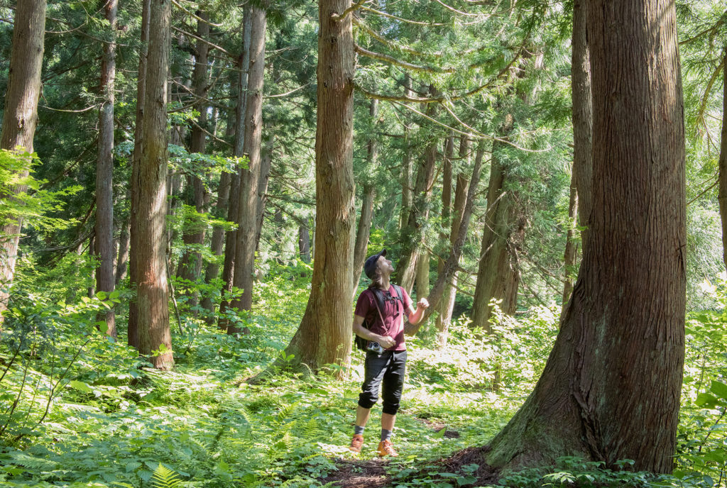
Guest hiker this time is photographer Andrew Currie, with whom I head to the starting point of “North Salt”, the Jade Coast. On day 1 we depart for the settlement of Nechi, heading over Ōami Pass that is the border of Niigata and Nagano Prefectures, and walking some 20km. A love of Japanese art took Andrew into studying the language through which he became highly interested in Japanese culture. For this trip, he is planning to depict all sorts of stories related to this old road with his camera.
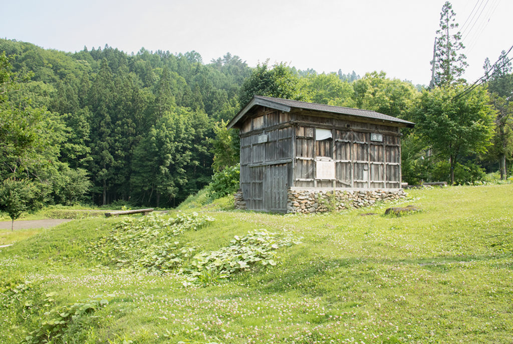
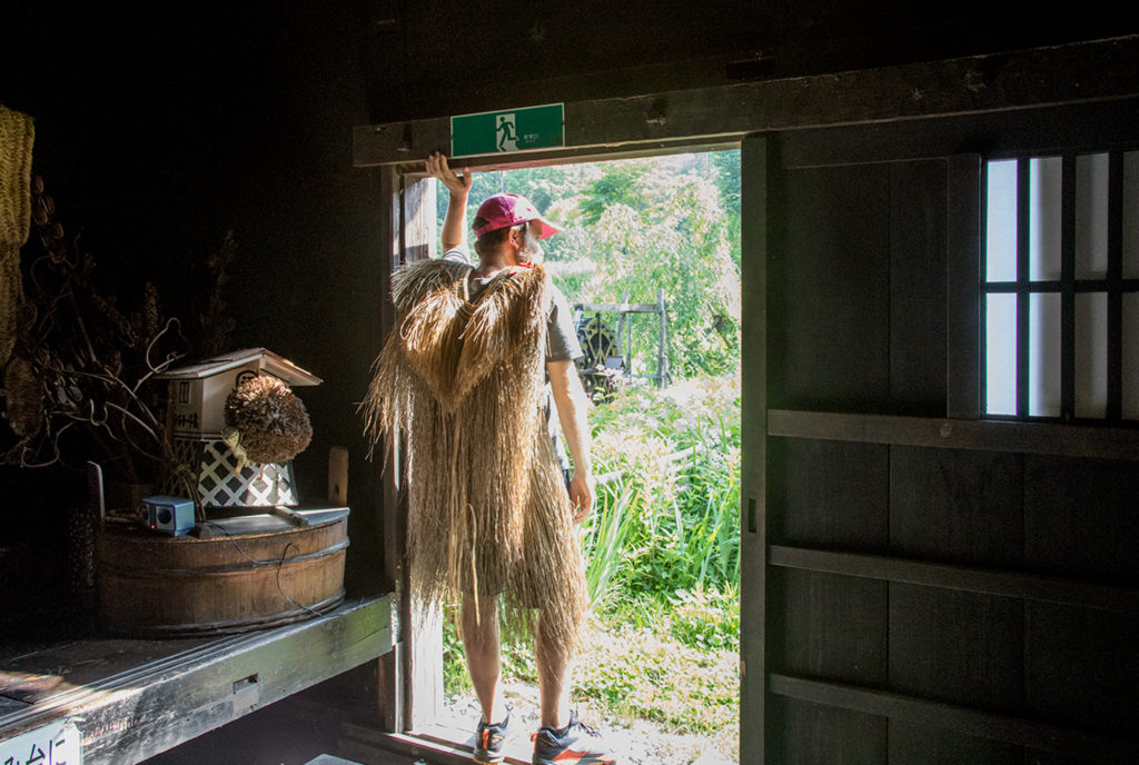
The road follows the Himegawa river inland, and then breaks away from the river and eventually leads up into the hills. Prone to bursting its banks, the Himegawa often flooded and so the road was paved through the mountains instead of through the valleys. There was a distinctive method for carrying freight through the craggy mountains of this “North Salt” road, particularly between Itoigawa and Ōmachi. These were the bokka foot porters who donned a wooden rack with shoulder straps to carry loads on their backs, and ushikata who used oxen to carry freight, given their superior strength to horses. Bokka would cart a straw sack of salt on their back weighing a hefty 47kg. A bull could take two of these. During the off season and in the snowy months, farmers would also put the bokka to work. Having won fame for their strength, the bokka were used as loaders in the construction of the Kurobe Dam. The national highways built in Meiji and the railway tracks laid along the Himegawa river during the Shōwa era meant that bokka rapidly became obsolete, but their toils and travails can still be discovered at the Salt Road Museum at the remains of the Yamaguchi barrier station.
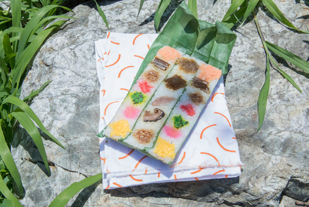
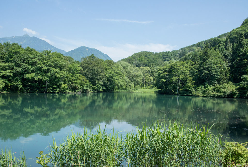
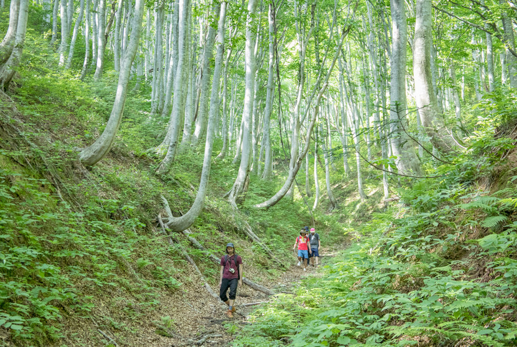
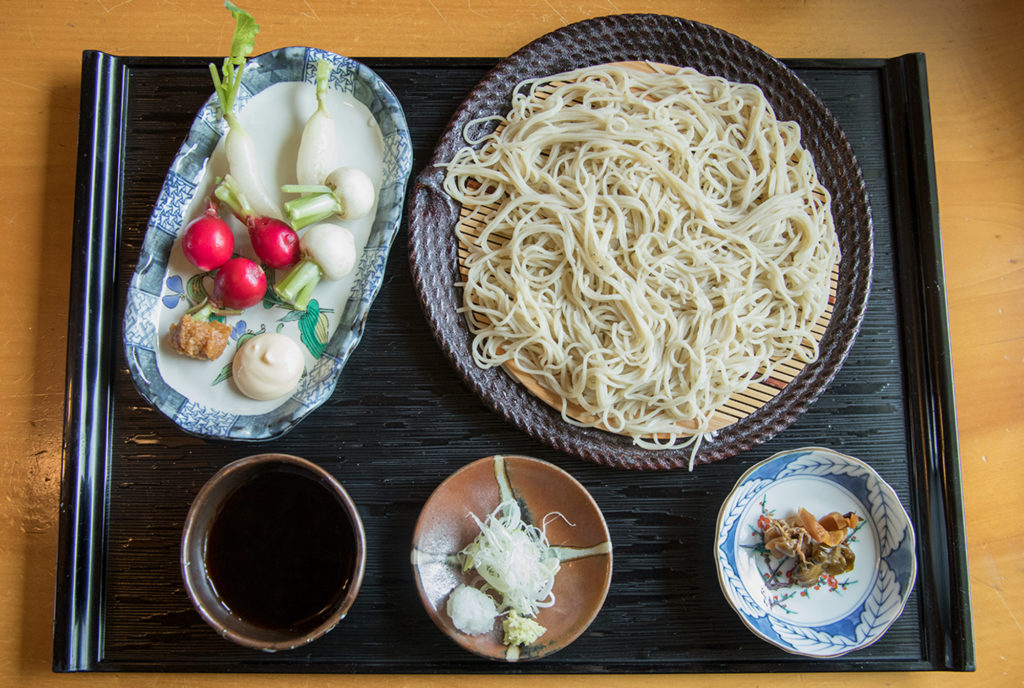
With some of Nechi’s famous Saza-sushi in our packs, we depart along the trail heading over the pass. Local volunteers regularly maintain the salt road, and even in the summer just after the snow has melted, the weeds and grasses have been carefully trimmed. The delightful hiking course includes the Shira-Ike pond with the foothills of Mt.Amakazari reflected in its surface, a clump of beech trees curved at the base due to the heavy snow, before finally reaching Ōami Pass. Once over the pass, the trail starts to descend, taking us all the way to Ōami in the village of Otari in Nagano Prefecture.
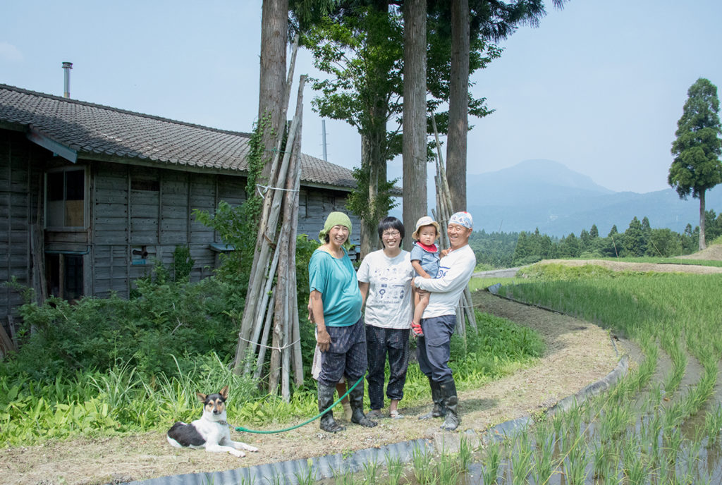
Ōami, our goal for day 1, is a small settlement with a population of 70. Although it once prospered as a post town on the salt road, the population gradually fell after the period of rapid economic growth, and in recent years was starting to become completely depopulated. However, over the past few years a “settlement revival” movement has emerged in Ōami. It is largely made up of people in their 30s who relocated to Oami through activities under Outward Bound Japan in Nagano. They decided to relocate having been captivated by the warm human connections and close relationships that cities lack and only a small settlement can provide. They live a self-sufficient lifestyle mainly working in the fields and mountains, and of course enjoying the seasonal festivals that make the village what it is. To ensure that their wealth of knowledge built up through blood, sweat and tears in the back of beyond is passed onto the next generation, they formed a group called “Kurashite”.
On Day 2, we leave Oami behind and head from Otari to Hakuba. An idyllic 23km hiking course takes us over Tenjin Michi and Ishizaka. The second half of the route is full of historical landmarks that evoke the original ambiance of the route, such as the Sengoku-bansho (checkpoint) installed by the Matsumoto clan, a ushikata inn with a thatched roof, the cobblestoned path laid for oxen, and the boundary stones. In Otari we saw many horse-headed Kannon and Nyorai Buddha statues that commemorate the fallen horse and oxen respectively. Haulage using oxen was limited to the non-snow seasons, but sudden blizzards and craggy mountain paths claimed the lives of many horses and oxen, which are enshrined by the plethora of Buddhist images carved into stones along the road.
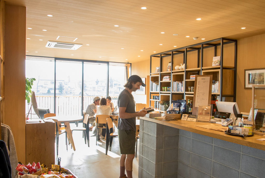
Tonight we will stay in “Atarashiya Ryokan” in Hakuba Happo, said to be the “birthplace of minshuku (guest inns)”. The original proprietor was a master carpenter who is said to have gone to the mountains to cut the beams to construct the triangular frame of the roof, and in front of the structural beam is a commemorative plaque engraved with “birthplace of minshuku inns”. When mountaineering was undergoing an unprecedented boom during the early Shōwa years, the mountain hut at the summit of Mt.Hakuba apparently requested that they take in mountaineers who turned back before reaching the summit due to bad weather. That this was the start of guest inns in Japan certainly makes one curious to delve further into stories about the dawning of the recent era of mountaineering and skiing.
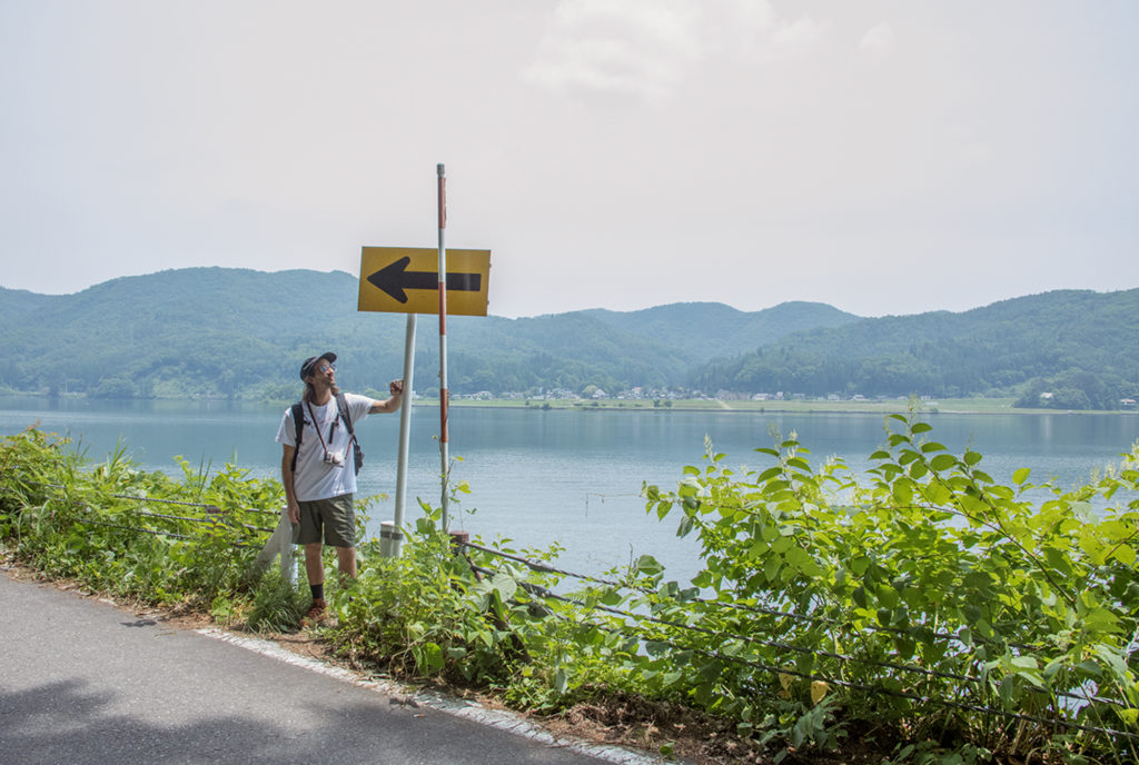
Day 3 sees us leave Hakuba for Lake Aoki and Lake Kizaki as we head toward Ōmachi. This is unmistakably the “Hakuba basin”, and it is a joy to walk along the flat road at the foot of the Northern Alps. Equally special is hiking while taking in the panoramic views of Mt.Hakuba Goryu and Mt. Kashimayarigadake, coated in white snow on top. Once we are past Lake Kizaki, Ōmachi is not far away.
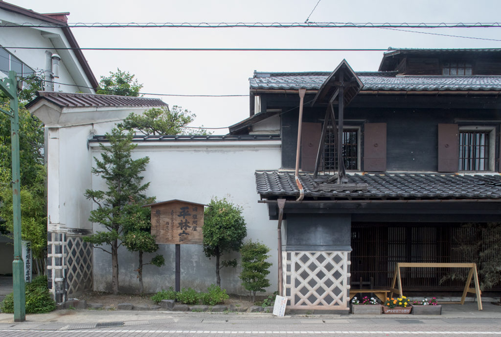
Ōmachi originally flourished as a post-station town, and there are still several of the old Machiya houses built in the early Meiji years. One of these – “Shionomichi Chojiya” – is our goal for today. Once the home of a salt wholesaler, inside the grounds is an old storehouse with earthen walls that was built in the Edo period. The salt carried by the bokka was accumulated here, loaded onto horses, and then carted off to Matsumoto.
And so ends our journey retracing the steps of bokka foot porters along the salt road. Having come this far, Andrew and PAPERSKY editor Lucas vow to come back and finish off the final 40km to Matsumoto, along with some other hikers.