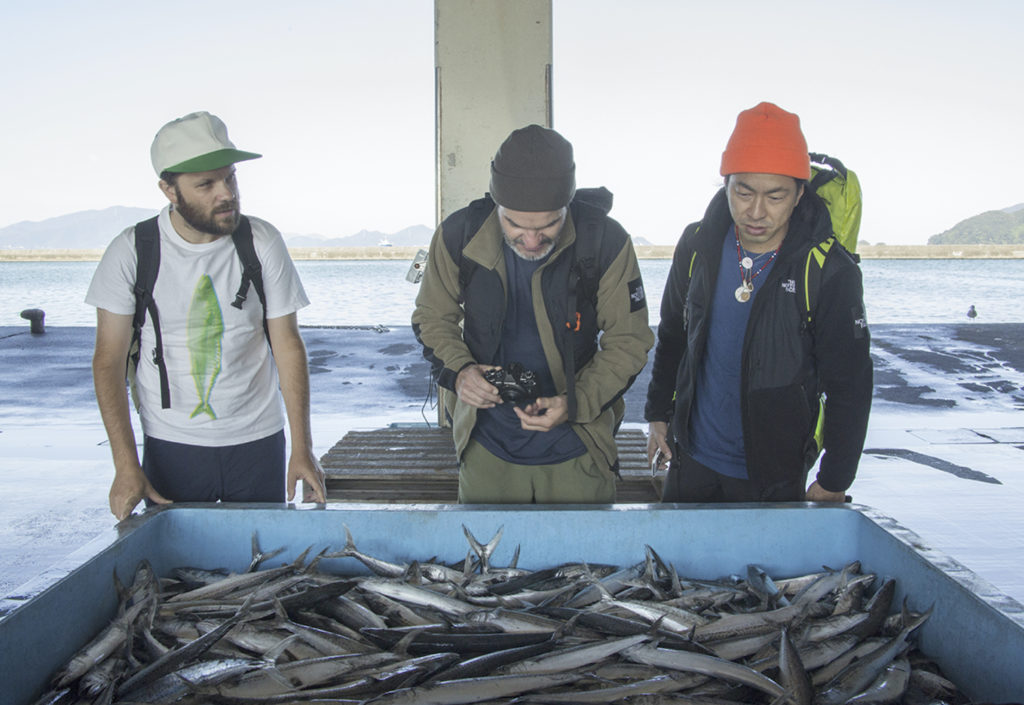
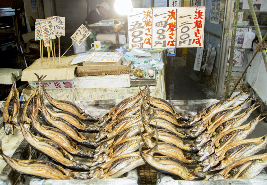
Facing the Japan Sea, Wakasa Bay nestles in the beautiful nature of Fukui Prefecture. This area, blessed with ample marine products and food ingredients, has since long ago underpinned the food culture of the erstwhile Imperial capital as a “Miketsukuni” (a land that produced food for the Imperial Court). The stage for this journey is the “Saba Kaido”, the crucial food transporting artery that links Wakasa Bay with Kyoto. A range of Mountains around 1,000m high extends between Wakasa and Kyoto, interspersed with roads and passes that are woven throughout the valleys. Collectively, these are referred to as “Saba Kaido” (“Mackerel Road”).
The Saba Kaido has a long history, stretching back as far as the Kofun period. Wakasa was governed by retainers who administered provinces supplying food and salt for the Imperial Court in Kyoto, with ancient burial mounds built along the road known as the “Road to Wakasa”. Fast forward to the Muromachi period. Hordes of foreign ships docked in Obama at the entrance of the highway, which acted as a conduit for the colorful culture of continental Asia to reach Kyoto. Meanwhile, the road was prized as a military highway in the Sengoku period, such as when Oda Nobunaga launched his invasion against Asakura of Echizen and permitted the allied armies of Tokugawa Ieyasu to use the route to return to Kyoto. In the early Edo period, the road was used to transport large amounts of seafood, rice and salt unloaded by cargo ships that sailed the Japan Sea. With a wholesaler district at the starting point, and lively post towns as transit points throughout, the road was a hive of activity. Put simply, the “Saba Kaido” did not exist merely to transport chub mackerel. It was in fact a daily thoroughfare for supplies including marine products and ingredients, and also a historical road that conveyed culture and communion between people.
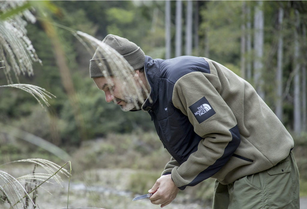
For this trip, Lucas, Papersky’s chief editor, and the PAPERSKY crew were joined by fellow traveler James Gibson, a professor of design and an ultralight outdoor gear enthusiast. A true outdoorsman, he can usually be found running trails, hiking or backcountry snowboarding. The road that James and Lucas will walk on is known as “Harihatagoe”, and celebrated as “part of the oldest road on the Saba Kaido”. Mr. Choushou Sugitani, representative of “Saba Kaido Historical Research Group” and the man who opened up the “Harihatagoe”, explains the epic route. Starting from Onyu, the seat of the Wakasa provincial government and extending all the way to Kurama in Kyoto via Kutsuki Village in Shiga Prefecture, the route was perilous but frequently used as the shortest road between Wakasa and Kyoto.
The journey begins at the local shopping area of Izumi town in the city of Obama, which sits at the starting point of the “Saba Kaido”. A short walk out of town segues into rows of traditional townhouses, reminiscent of the townscape of Onyū. There are several prominent shrines and temples in Onyū that were founded eons ago, including Wakasahiko Shrine/ Wakasahime Shrine, the oldest shrines in the Wakasa region. Equally celebrated is the 1000-year-old sacred “Sennen Sugi “ cedar tree in Wakashime Shrine, famous for entrancing poet and scholar Gary Snyder. Another ancient temple is Wakasa Jingu-ji, famous for the ritual of “Omizu okuri”. The “Saba Kaido” tends to be seen as closely linking Wakasa with Kyoto, yet “Harihatagoe” also has a strong connection with Nara. One example of this is the “Omizu-tori” water-drawing festival held every spring in Tōdai-ji Nigatsu-dō. This ritual involves pouring water purified by monks from Wakasa Jingu-ji into the Onyū river from Unose (“Omizu-okuri”), which would then be drawn up in Tōdai-ji. Legend has it that long ago, Wakasa and Nara were connected by a series of underground caves.
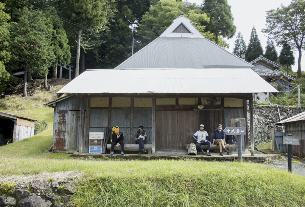
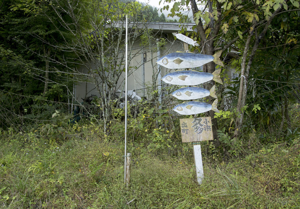
The Kaminegori settlement, built into the mountainside in the innermost part of Onyū, marks the start of the trailhead. The winding and undulating mountain trail has definitely seen some footfall. Thickets of trees are dotted with Jizo statues and moss-covered rocks where the legend of Wakasahiko lives on. As with “Harihatagoe”, the joy of walking these old roads is to personally experience how people lived and moved along these roads that link one settlement with another. The evidently hand-made signposts modelled on a fish have struck a note with James, who snaps away on his camera.
An hour of walking along this mountain trail brings the group to Harihata pass, 830m high. Proceeding straight down this pass will lead to Onyudani in Takashima City, Shiga Prefecture. This will be where our hikers spend their first night.
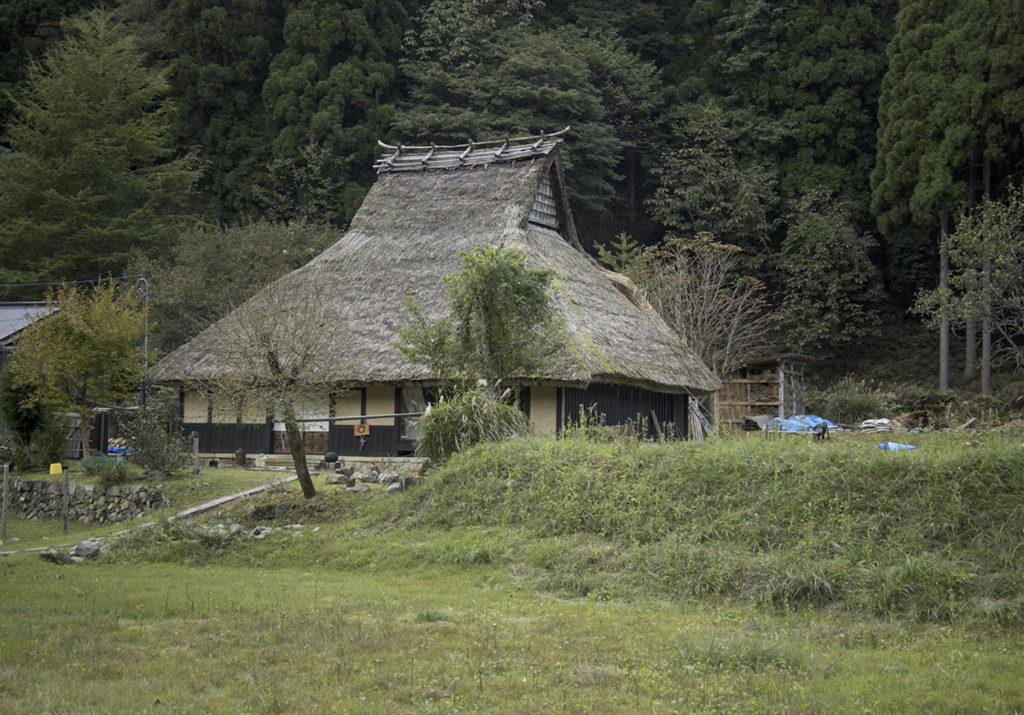
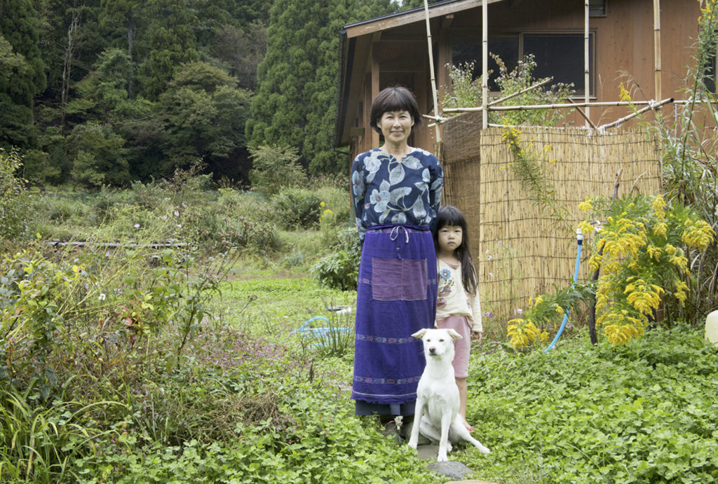
Nestling in the mountains, Kutsuki Onyudani is a charming settlement scattered with thatched-roof old houses. It is what one might call a quintessentially Japanese landscape, with undeveloped woodland surrounded by clear streams. While it once teetered on becoming a deserted village, the area has enjoyed a resurgence with artistic-minded transplants in search of a different lifestyle.
Built 100 years ago, ”Dharma samgha Kutsuki Gakudocho” is a thatched Zen hall established by Tenseki Iidaka in 2001 as a place for lay followers to undergo a period of intensive zazen meditation. According to Mr.Iidaka, the allure of “Harihatagoe” is the “time-defying romance”. In his own words, “Roads are what carry culture history and religion from the very beginning. If so, the culture of continental Asia that found its way into Wakasa Bay was then carried down the shortest route available, to Kyoto, Nara and Kumano. As the shortest route to Kyoto, Nara and eventually Kumano, this road was the conduit for the culture of continental Asia that seeped into Wakasa Bay.” The “Silk Road of Japan” you might say.
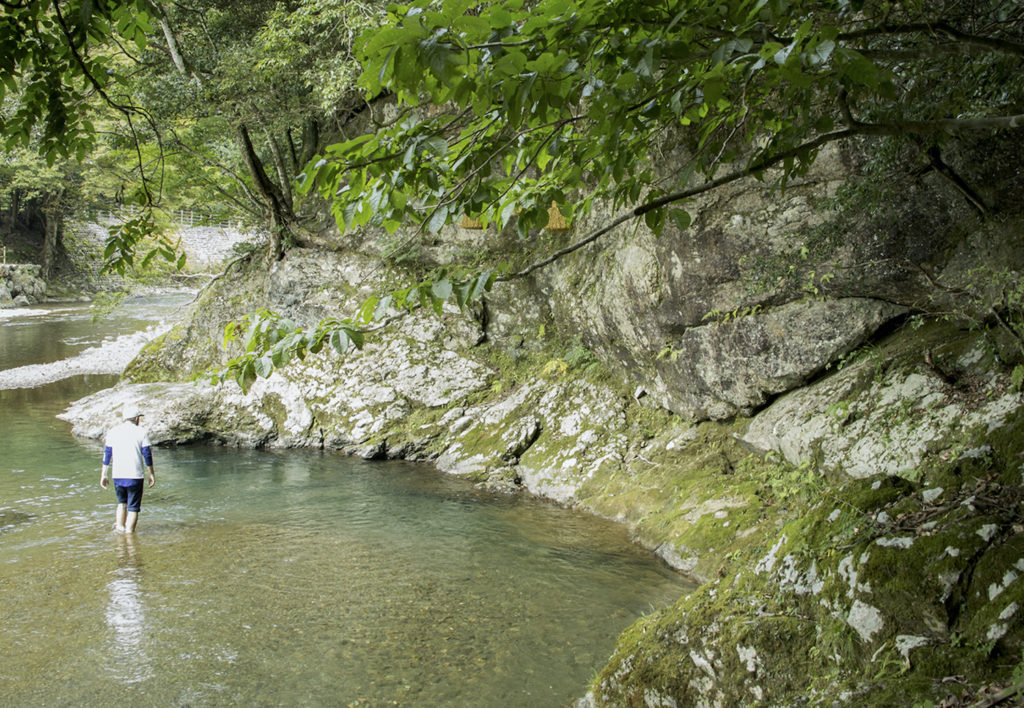
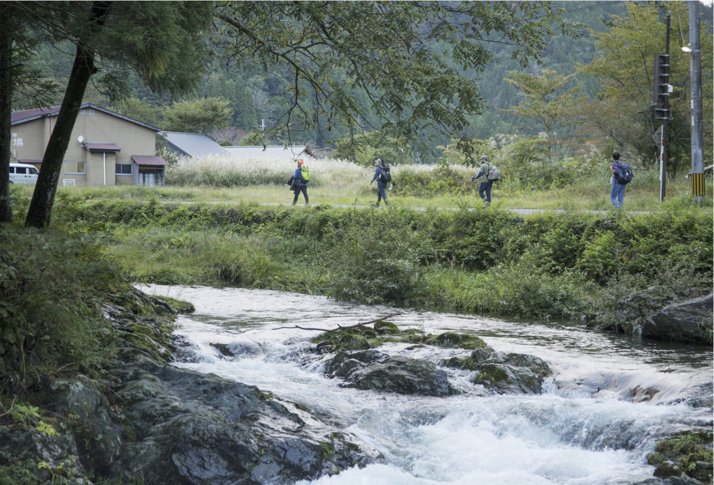
Day 2 of the trip begins with a stroll along the paved road from Kutsuki Onyudani to Kuta in Kyoto. The path passes through several settlements flanked by a clear stream, first the Harihata river and then the Hisata river. According to Hiromichi Murata, professional guide and director of “Takashima Trail Club”, this stretch of land is located in the middle part of the central divide that demarcates the Japan Sea and the Pacific Ocean side. Diverse climatic zones and vegetation contained in a small area provides a rich natural environment. The fact that you find splendid virgin forests of buna (that usually flourish around 1,000~1,500m altitude in Honshu) at 500m high in Kutsuki is largely due to the influence of the central divide.
“The culture and way of life rooted in this environment is largely unchanged, and lives on in the settlements found along the route to this day. The local cuisine is also plentiful, including painstakingly pounded tochi mochi and mackerel noodles served with stock extracted from grilled fish. The great thing about “Harihatagoe” is not just the bountiful nature, but also the portal it provides into traditional lifestyles and culture. There are so many ways to enjoy it”.
For James who usually prefers long-haul hiking, this trip was not merely about walking the land, but also a chance to learn about the history and anecdotes that are bound up in the trail.
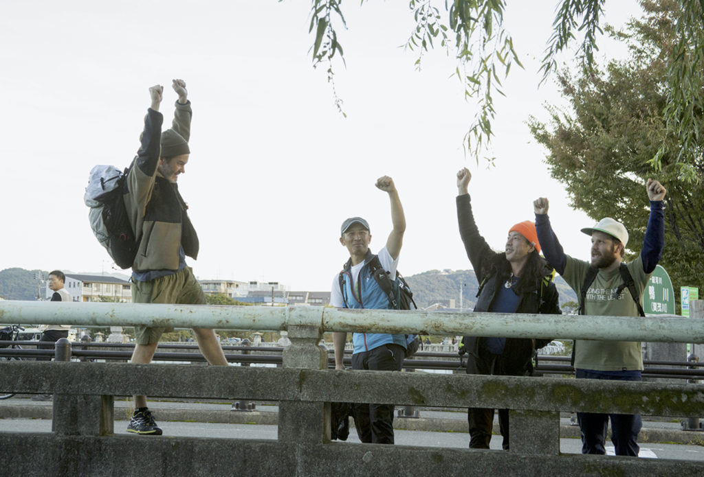
On the final day, Murata-san guides the hikers from Kuta along the mountain road. The group passes through the leech-infested Hacho-daira Wetlands, and then Ogoshi, Omi and several settlements before reaching the highway at Hanasetouge pass. The group’s arrival at the Kurama-dera mountain temple signifies they have at last made it Kyoto. All that is left to do is to patiently stroll through the residential part of Kyoto until they reach Demachiyanagi, which officially marks the end point of the “Saba Kaido”. The stone monument on Demachi-bashi Bridge West is the goal, and the hikers waste no time in tucking into saba sushi bought from “Hanaore”, a famous mackerel sushi shop. The salt sprinkled on the fish belies the wisdom of the pioneers who came and went along the highway many years ago. This flavor hints at the pride of the Wakasa People, who doggedly crossed the 75 miles of steep passes to reach Kyoto.
James muses that this trip has “given him a new way of looking at travel”. By coming into contact with the legends and history concealed beneath the stones and ground upon which he walks, he has found a new outlet for his curiosity, a genuine sense of excitement hidden in a familiar landscape.
“Who is up for taking on another Old Japanese Highway adventure in Japan, with its own unique food culture and history!”