


Above an Edo Stone Bridge
My legs refuse to move. How far have we walked? How much farther do we have to go? Even the view of the farmland that felt so fresh at first has now become a norm. As we’re about to cross another stone bridge without a second thought, our guide stops us.
“Hey, let’s take a quick pause here,” says our guide. “This is the Ochiai Stone Bridge, a nationally registered tangible cultural property. Notice how the supporting pillars on both banks jut out diagonally like beams, with flat stones laid across them? This stone hane-bashi style is unique to Yamaguchi and quite rare. Just imagine, people and horses crossing this very bridge in the final days of the Shogunate.”
The bridge, now absorbed into the surrounding satoyama landscape, dates back to the Edo period. Suddenly, we’re reminded. This isn’t the kind of sight one should tire of so easily. Countless footsteps have traced this old highway for centuries.
“That farmhouse was built in the Meiji era. Not that old, really. There are still houses from the late Edo period standing around here.”
The word “Edo” slips from our guide’s lips frequently. In the distance, we can hear the sound of passing cars. As I gaze ahead, feeling caught in time’s warping effect, the weathered road stretches toward the mountain pass.
Follow the Mossy Brick Road
The Hagi Ōkan is a roughly 53-kilometer highway that connects Hagi and Hōfu, running almost in a straight line through Yamaguchi. Its origins date back to the early 17th century, when the Mōri clan—reduced in rank after their defeat at the Battle of Sekigahara—built Hagi Castle and developed this route as an official lord’s road (Onari-michi) for their regular obligatory journeys to Edo. Once a vital artery linking the San’in and San’yō regions, the road is still walked today as part of school events.
“If we’re going to Hagi,” we agreed before this trip, “we gotta walk the Hagi Ōkan from Yamaguchi.” The roughly 30 km journey takes less than an hour by car, but we decided to spend two days and one night walking it instead.
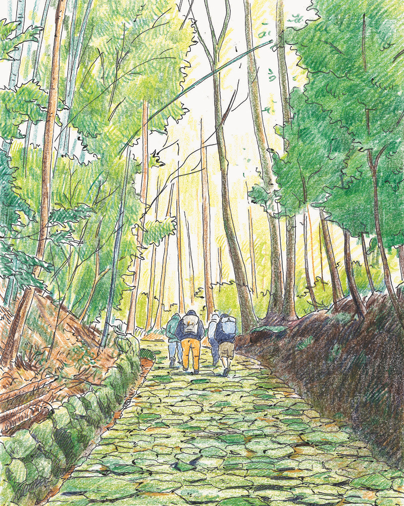
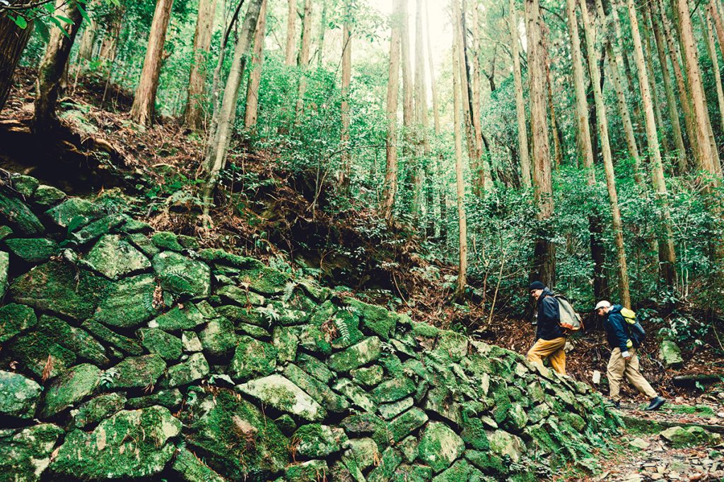
The journey begins at the Tengezakaguchi entrance. From here to the boundary between Yamaguchi and Hagi lies the steepest stretch of the route. In just 2.5 kilometers, the path climbs 500 meters in elevation. The wide stone underfoot carries a certain charm, but this section is known as Ichi-no-saka Shijūni-no-Magari—“One Slope, Forty-Two Turns”—and is considered one of the toughest parts of the entire route.

After pushing up the steep incline, just as we’re thinking it’s time for a break, the path opens up. Perfect timing. This is the Ichi-no-saka Tateba Site (also known as the Rokken Chaya Site), once a major rest stop for the long processions of feudal lords on their journeys to Edo. Historical records note that these processions could number as many as 1,663 people, and the resting quarters for chief retainers (karō) and their attendants have been restored here. The Hagi Ōkan was built with a generous width of about four meters to accommodate the four to six men who had to carry their lord’s palanquin.
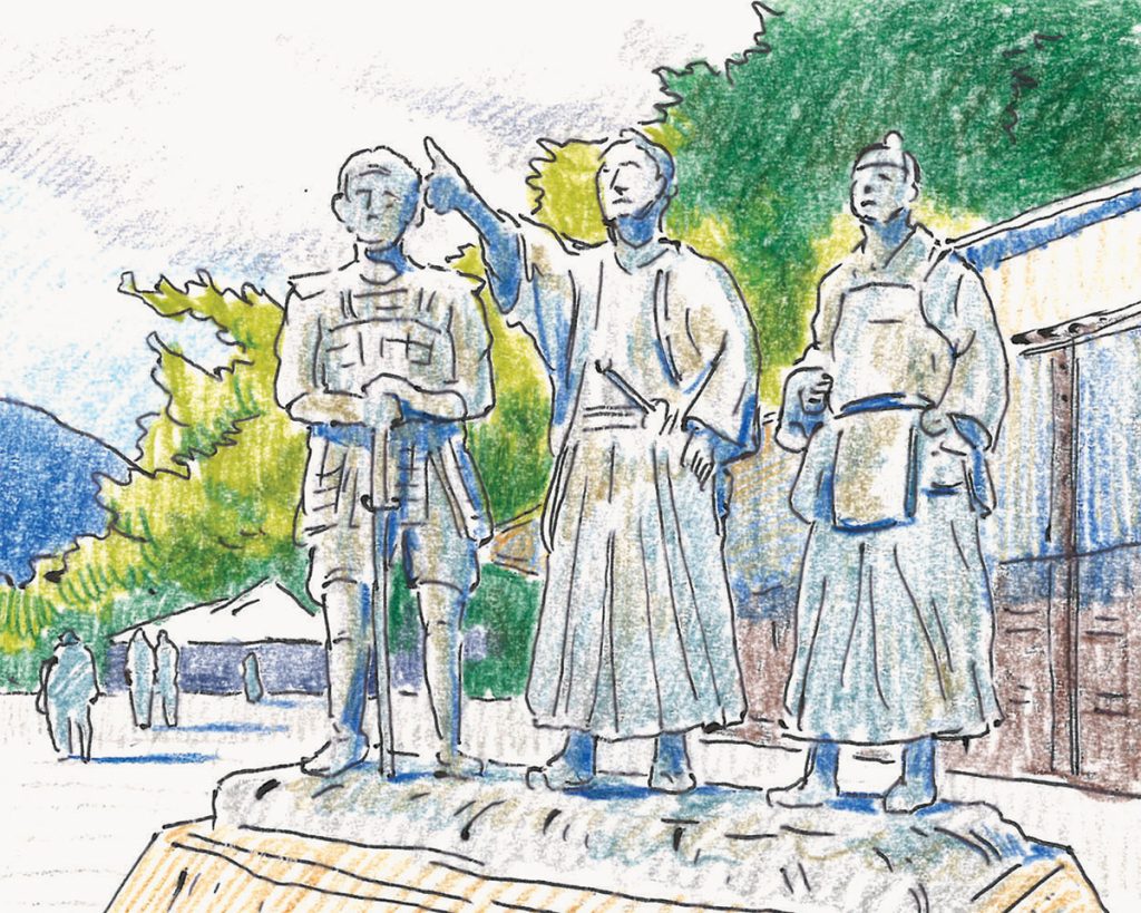
At 537 meters, the highest point of the Hagi Ōkan is the Itadō Pass. This marks the boundary between Yamaguchi and Hagi (in earlier times, between the provinces of Nagato and Suō). Once known as the Bōchō Kokkyō, the site is marked by a stone monument erected in the early 19th century. It’s easy to imagine this place witnessing the passage of historic figures, such as Sakamoto Ryōma, who worked tirelessly for the Satsuma-Chōshū rebellion alliance, or Takasugi Shinsaku, a leader of the movement to overthrow the shogunate, and even novelist Doppo Kunikida, who commuted between Hagi and Yamaguchi as a student. Did they, too, feel a chill in the rugged underbrush of the Chūgoku Mountains? A nearby sign warns of wild bears, a reminder that the wilderness remains, well, wild.
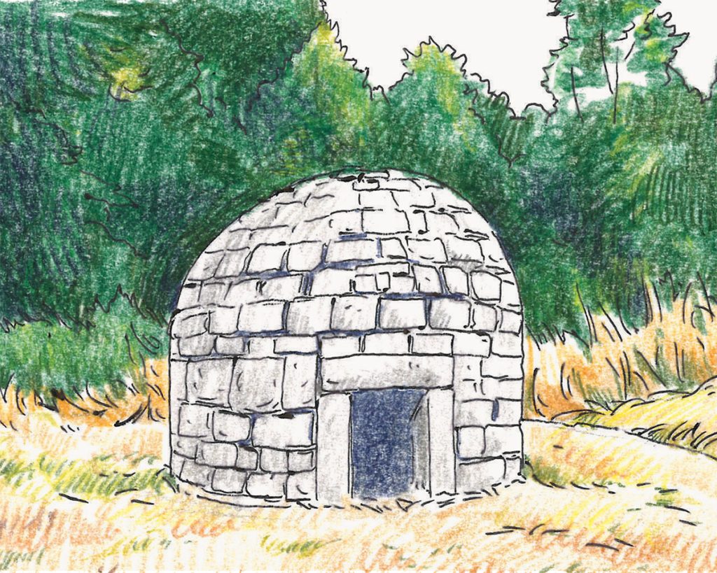
Other remnants bring the past to life. Near the Itadō Pass stands the Kaminagase Ichirizuka, one of the original distance markers set every four kilometers along the route. This one has survived since the Edo period. Further along, you’ll find a reconstructed Hinatase Stone Bath, considered a prototype of the traditional bathhouse, and close to that stands the Kubikire Jizō, a statue tied to a local tale of vendetta.
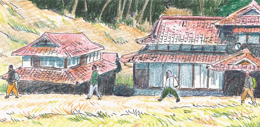
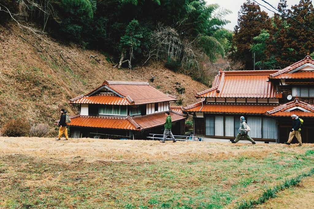
The final highlight of the first half of the journey is the Sasanami settlement, reached after passing through terraced rice fields. Designated as an Important Preservation District for Groups of Traditional Buildings, this former post town still retains the look and feel of early modern Japan, with roofs, both thatched and tiled, lining the streets.
Edo Craftsmanship and the Chūgoku Mountains
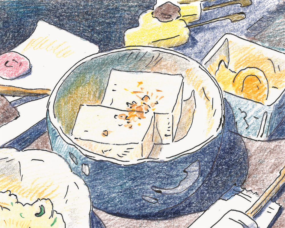
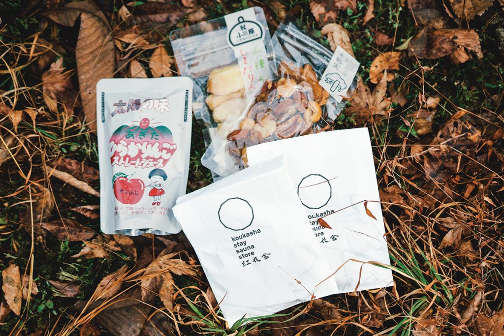
On the second morning, the post town with its charming tiled roofs quickly fades into the distance behind us. Surprisingly, we don’t feel as fatigued as we expected. Maybe it’s thanks to the all-tofu dinner at Hayashiya Ryokan in Sasanami. From tofu-wrapped tempura to tofu steaks, it’s a full eight-dish course that celebrates every texture of tofu. Its silky smoothness comes from a method passed down since, you guessed it, the Edo period.

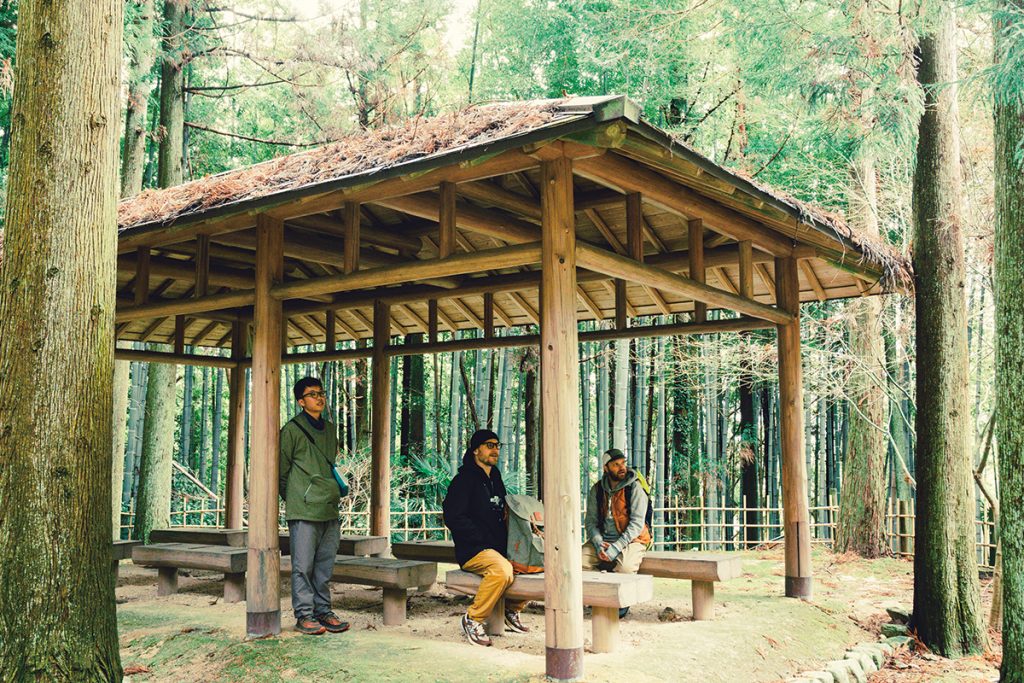
“Watch your step,” the guide calls out, moments after we hit the mountain path. “Careful, now. I almost stepped on it… Look, that’s fukinotō (butterbur sprouts).”
The Chūgoku Mountains are rich in wild snacks. Spring brings wild strawberries, and in autumn, you can even find chestnuts. Though it’s supposed to be uninhabited terrain, there’s an unmistakable trace of human presence here.
“Farmers must have lived here long ago,” the guide says. “See how small that stone wall is? That wasn’t built by a stonemason. My guess is that they were rice terraces, and people planted trees here after the rice fields were abandoned.”
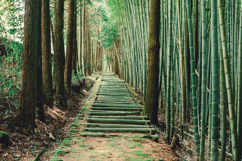
Listening to the guide’s explanations, we cross the Ochiai Stone Bridge and continue past spots like the Chikurin-no-Shichiken (Seven Sages of the Bamboo Grove) Viewpoint and the Kōshin-zuka Mound. From the lookout, I search for Hagi, but the castle town remains hidden behind the ridges of the Chūgoku Mountains.

“From here, the next three kilometers through the Isshō Valley are one of the toughest stretches of the Hagi Ōkan,” the guide warns. “A stone path with a 300-meter drop in elevation. Don’t expect cell reception here, either.”
A sign bluntly reads “Cell Phone Dead Zone”—a four-word phrase you rarely see these days. Hard to believe there’s still a place that’s not even a mountain peak where your phone won’t work. As we descend the steep slope, the only sound is the murmuring of a stream.

The Post Town Before the Castle Town
A beautiful townscape of Sekishū tile roofs comes into view again. But this isn’t the Sasanami settlement we left behind this morning. Below the descent through Isshō Valley lies Akiragi, another post town overflowing with its own charm that once flourished along the Hagi Ōkan. As the last stop before Hagi, there is no doubt that it saw plenty of merchant traffic. It was revered as a lively market town, along with Sasanami.
“Travelers who couldn’t make it into Hagi by nightfall would spend the night here at Akiragi,” the guide explains. “The great gate at the entrance to Hagi Castle Town was closed once the sun went down.”

Leaving Akiragi behind, we pass through the darkness of the Kasezuidō Tunnel and emerge to find a modern rest area, the Michi-no-Eki Hagi Ōkan, just ahead. Cars speed toward Hagi along the route we spent two days walking, and the sudden contrast of light and darkness leaves us momentarily disoriented, as if time itself has shifted yet again.
From here, it’s only about five kilometers to the starting point of the Hagi Ōkan, the site of Karahi Fudaba. We gradually come across residential housing more frequently, and citrus trees, like summer mikan and yuzu, stand out along the way. Before long, the Namidamatsu Ruins and the monument inscribed with a poem by Yoshida Shōin come into view. This is where the great thinker and educator of the Edo period composed a farewell verse before leaving his hometown.
It means the town of Hagi is just ahead. Where is Mount Shizuki, the symbol of the castle town? I want to see it as soon as possible. My legs are still going strong. On the Hagi Ōkan, I feel as though I could walk forever.
YAMAGUCHI Guide
Hayashiya Ryokan
2660 Sasanami, Hagi, Yamaguchi
TEL:0838-56-0007